Images of a complex rock alignment in southern Arizona.
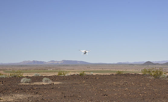
DJI-Phantom quadcopter with GoPro camera flying above rock alignment.
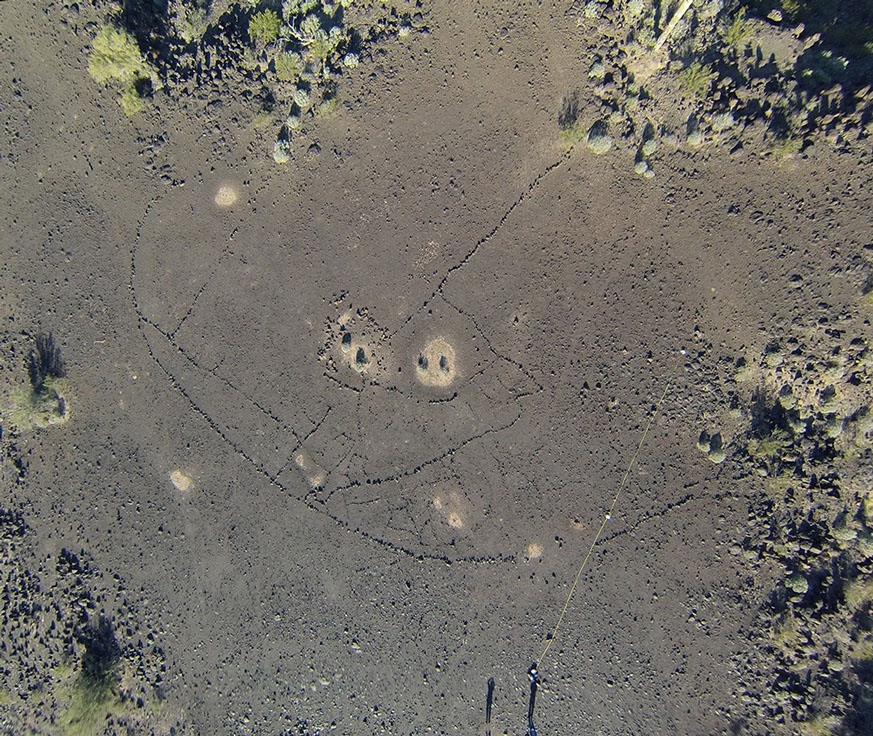
Stitched images from high altitude flight. Yellow tape is 30 meters.
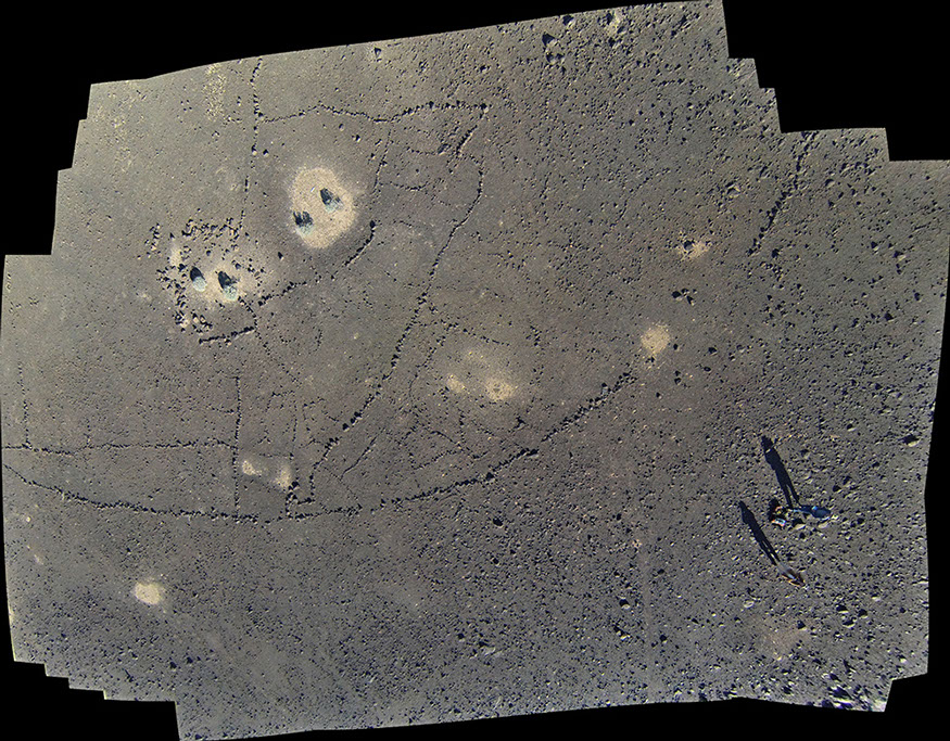
Stitched images from low altitude flight.
RCS: Computer science in the service of rock art research, protection, and education.